The Duration: Life and Science on the Fimbulisen Ice Shelf
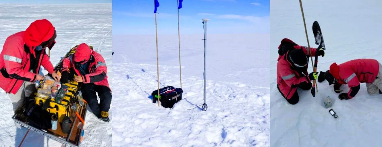 Through mid- and late January, the team balanced demanding science with the realities of Antarctic fieldwork. GNSS stations positioned around major basal crevasses provided precise measurements of ice motion and fracture growth, helping assess the risk of large calving events. Complementary radar surveys quantified changes in ice thickness, supplying key inputs for ice-shelf flow models.
Seismic surveys used arrays of geophones and controlled energy sources to image the ice shelf and the ice–ocean interface. Drone-based ground-penetrating radar revealed the structure and evolution of deep basal crevasses, building on data from the previous season.
Fieldwork was frequently interrupted by severe storms, including wind gusts exceeding 120 km/h. Despite delays, the team adapted schedules and used downtime for maintenance and data checks. A major milestone was the first deployment of SAR corner reflectors on an Antarctic ice shelf, enabling highly accurate satellite tracking of ice motion.
Together, these measurements produced a unique dataset capturing both surface and subsurface behaviour of the Fimbulisen Ice Shelf.
Full Article